NewCom's Services
For complete cemetery management solutions...
NewCom's Services
For a complete cemetery management solution!
- Cemetery Management Software
- Map Development
- Field Survey
- Record Conversion
- Training
- Support
Heading 1
This is an example of the content for a specific image in the Nivo slider. Provide a short description of the image here....
Heading 2
This is an example of the content for a specific image in the Nivo slider. Provide a short description of the image here....
Heading 3
This is an example of the content for a specific image in the Nivo slider. Provide a short description of the image here....
Heading 4
This is an example of the content for a specific image in the Nivo slider. Provide a short description of the image here....


The future of cemetery record management!
Search our Site
Our Services
Cemetery Management System
Software
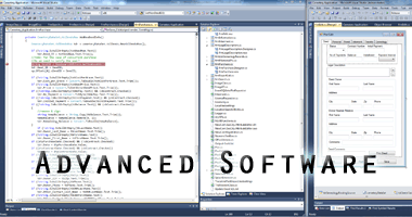
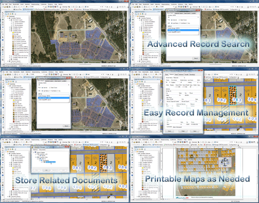
NewCom's CMS is cemetery management software solution to suite most operations needs. It is based on GIS ( Geographic Information Systems ) map technology using Esri ArcMap as the base product.
Map Development
NewCom can provide complete map development support ranging from digitizing from a paper map to performing an on-site survey with GPS accuracy.
Field Survey
NewCom's staff can provide data collection on sight visit to the cemetery facility. The field survey staff performs an extensive inventory of all visible markings, GPS locations and photos. We also have strategic partners who can provide additional levels of survey such as ground penetrating radar to access locations of unmarked graves.
Aerial Photography
NewCom uses drone technology to take high resolution aerial photography of a cemetery. These photographs are used for the Ortho Imagery Background map. These images assist the drafters in assuring accurate headstone placement.
Record Conversion
NewCom can assist by helping you convert your legacy cemetery records into the form required by our software.
Training
NewCom can assist by helping you convert your legacy cemetery records into the form required by our software.
Client Support
NewCom offers client support in all areas of its CMS software, and Esri software.
NewCom offers other GIS based services
NewCom has an extensive suite of products and services which we offer to both government and private markets. As an Esri Business Partner and Application Developer, we pride ourselves on designing applications which provide a solution to your problem. You can view these at www.newcomtech.com .


